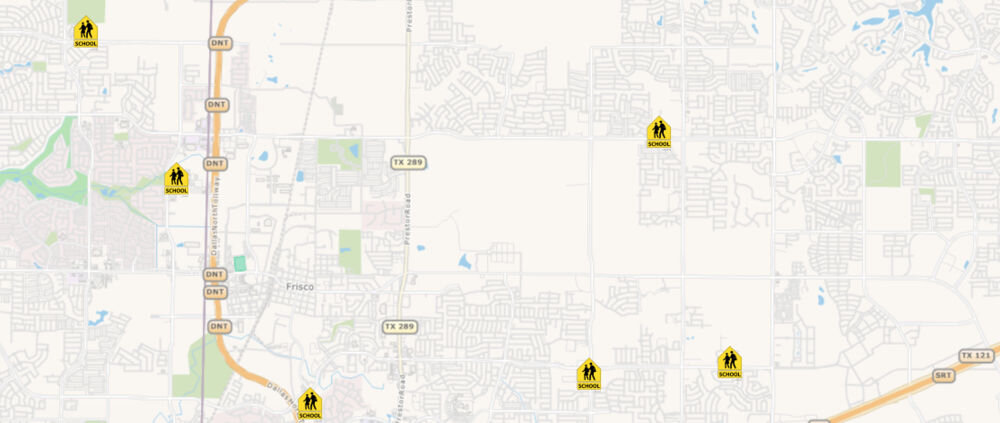
How to Style Your Point based Data?
Styles are classes that determine how each feature is represented on the map. PointStyles draws points on the map using various symbols. It can be as be as basic as a circle, square, or a triangle or more advanced such as a logos or custom icons to represent your point data. You can apply different styles to the same data based on different map scales. There are several types of PointStyles:
Symbol Point Style are your most basic symbols that allow you to render points with predefined symbols such as circles, square, triangle, cross or diamonds.
Character PointStyles allows you to render points based on font, for example you could use an “H” to render hospital locations.
Image PointStyles allows you to render your data with custom image. Here you could use your company logo to display your business locations.
You can also create compound styles by combining different styles to create a very unique look and feel.
With Map Suite you have complete control on how to display your data! It’s also extensible allowing you to meet any custom requirement you may have

