Topological Validation
Validating Topologies
Topological validation is an integral part of GIS. Being able to verify if your geometries meet predefined rules is especially useful in data creation or modification, to ensure that your data is valid. For example, if you have a sampling area and want to ensure that sample points are always within the same area, there's a way to validate for that. Other possible validations includes rules like 'points are always on lines' or 'lines may never intersect'.
Another common scenario where validation might come in handy is when handling counties within a state. You could apply a validation rule to test that there are no gaps between polygons, to ensure that there is total coverage of the area. Another useful validation in that case would be a rule ensuring that all county polygons are within the given state polygon. ThinkGeo offers a number of APIs that cover the main types of validation, and can be combined to build up nearly any rule you can imagine.

Point Validation
Validating your points helps ensure the integrity of your data when editing. By passing in your points and comparison features, our APIs allow you to quickly determine if any rules were broken, as well as providing feedback as to where any violations occurred.
Sample Code
Touching Lines
Touching Line Endpoints
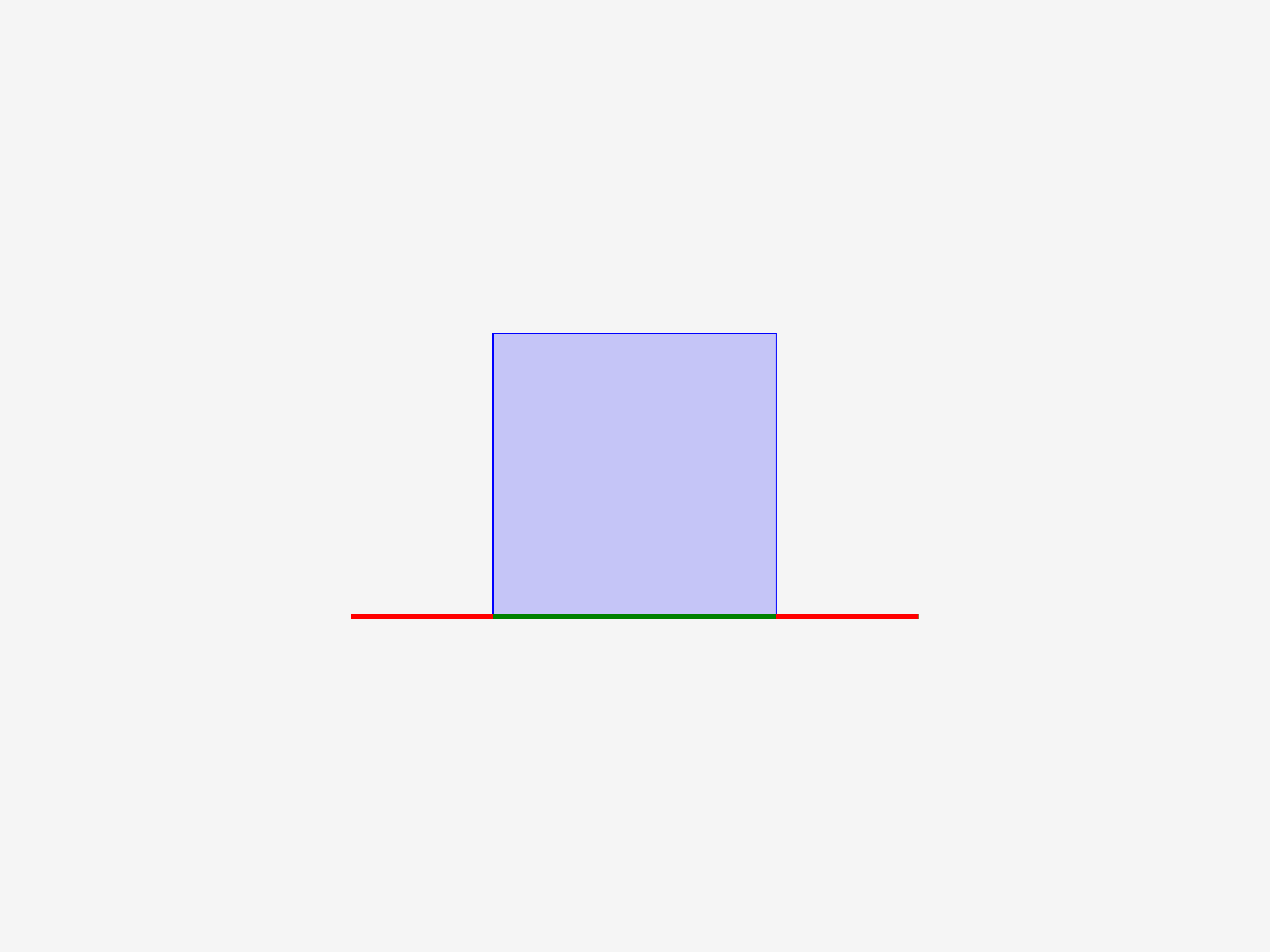
Touching Poly Boundaries

Within Polygons
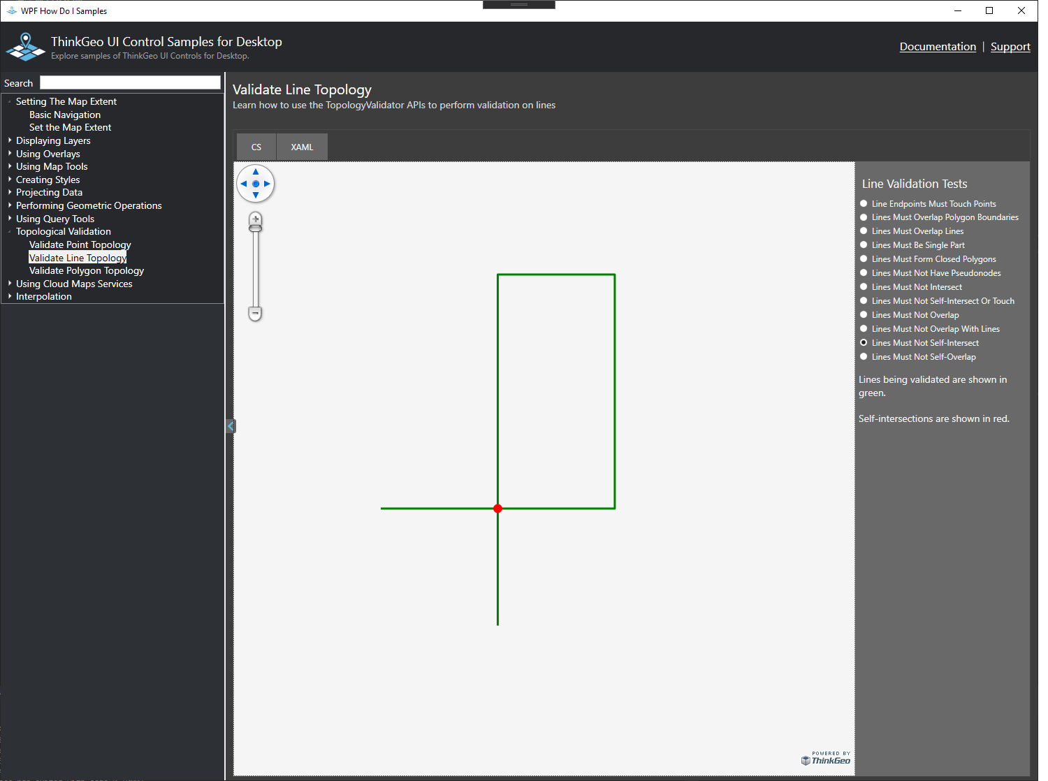
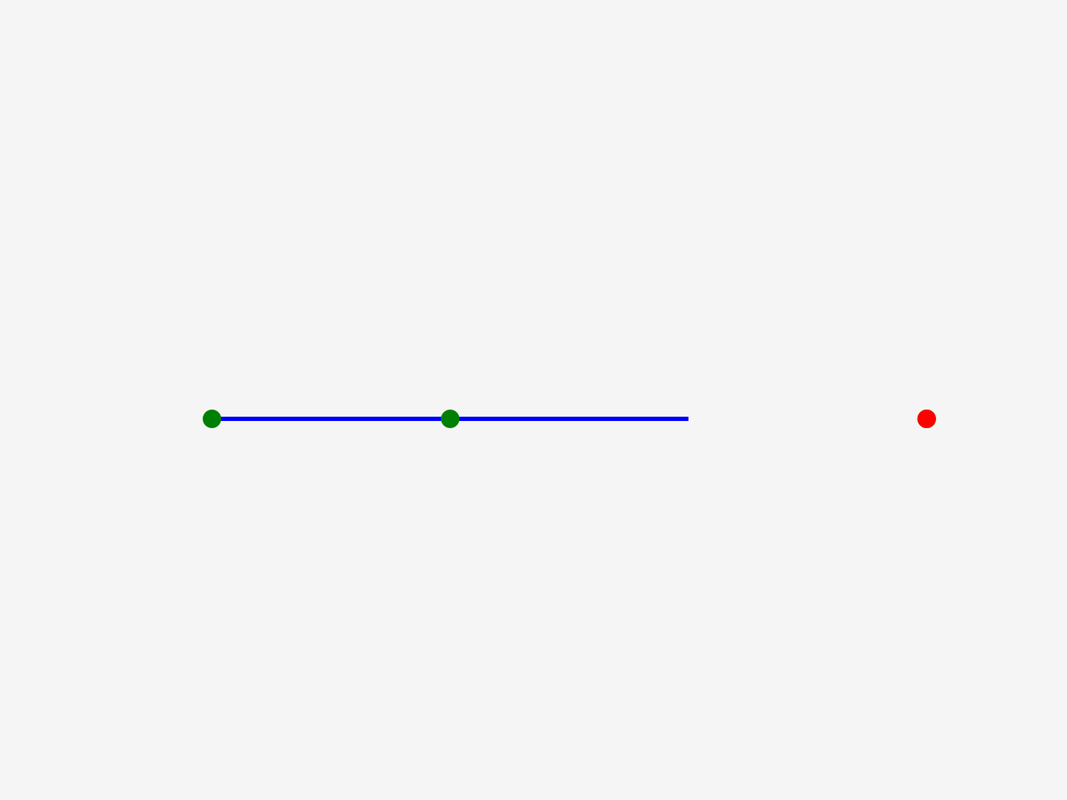
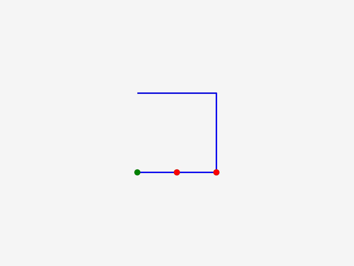
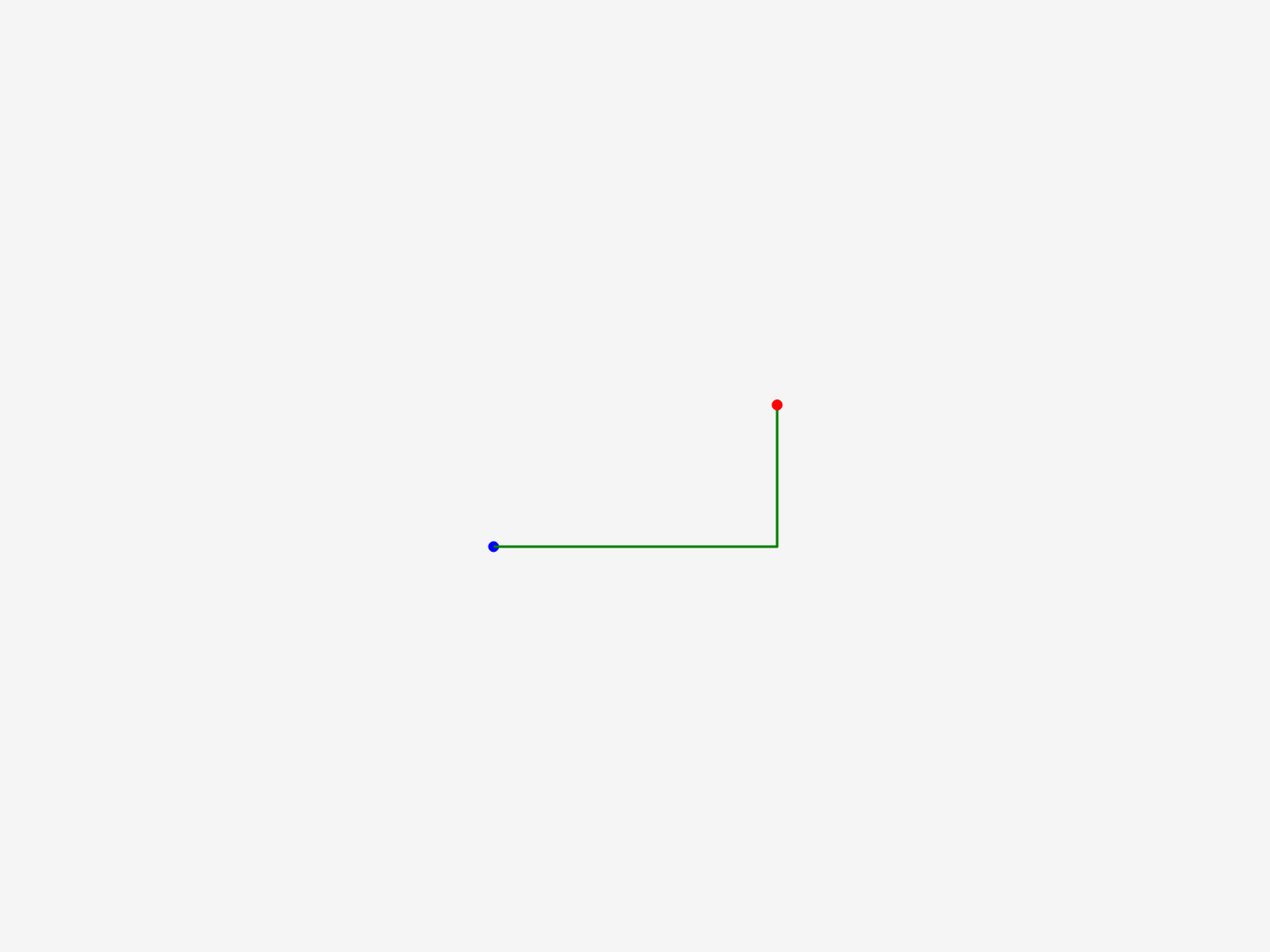
Line Validation
Ensuring that lines conform to your scenarios is invaluable. Our APIs can be used to ensure that new streets being digitized never overlap with other lines, or that they do not cross themselves. When combined with other validations, these can help you avoid little mistakes that might slip through when editing shapes.
Sample Code
Single Part (Not Multiple Strings)
No Intersects
No Overlap With Lines
Overlapping Polygon Boundaries
No Self-touch
No self-intersection
Touch Points
Forms a Polygon
No Pseudo-nodes
No Overlap
No Self-Overlap
Lines Must Overlap
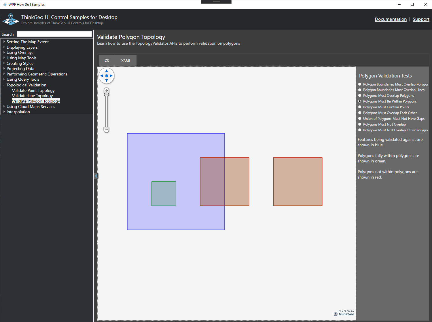
Polygon Validation
Our polygon validation APIs allow you to quickly check sets of polygons against a variety of rules - for example, 'polygons must not overlap' or 'a set of polygons must be within a larger polygon'. These can be useful for many real world use cases, like validating that states or providences are within the boundaries of a country, or that county polygons are not overlapping.
Sample Code
Polygons Must Be Within Polygons
Union Of Polygons Must Not Have Gaps
Polygon Boundaries Must Overlap
Polygon Boundaries Must Overlap Lines
Polygons Must Contain Points
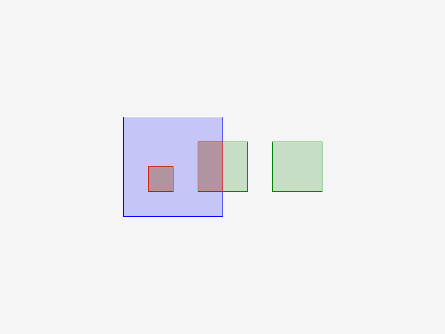
Polygons Must Not Overlap Polygons
Polygons Must Not Overlap
Polygon Must Overlap Polygons
Polygons Must Overlap Each Other
* Feature available, but no specific sample.
<<
Previous
>>