Getting Started With ThinkGeo

If you're a .NET developer looking to integrate maps and advanced GIS capabilities into your application, you’ve come to the right place. Our UI controls for Desktop, Mobile and Web will help you add powerful maps to your .NET application with ease.
In addition to our UI controls, ThinkGeo Cloud offers web-based GIS service for basemaps, geocoding, and routing. If you need an offline mapping solution, we also provide downloadable GIS datasets that work seamlessly across devices.
This post is intended for developers and we’ll cover the essentials needed to get your project up and running with ThinkGeo.
Tip
It's important to understand the difference between our UI controls and cloud services. If you need to add a visual map to a .NET application, then you should check out our UI controls for Desktop, Mobile and Web. If you need to add base maps, geocoding or routing functionality to a new or existing application, check out ThinkGeo Cloud which provides your app with robust, web-based GIS functionality without the need to build out your own cloud infrastrucure.
Create Your Account
The first step in your ThinkGeo journey is to create a new account here. This will email email you instructions for downloading the Product Center and activating your license.
Explore Our Samples
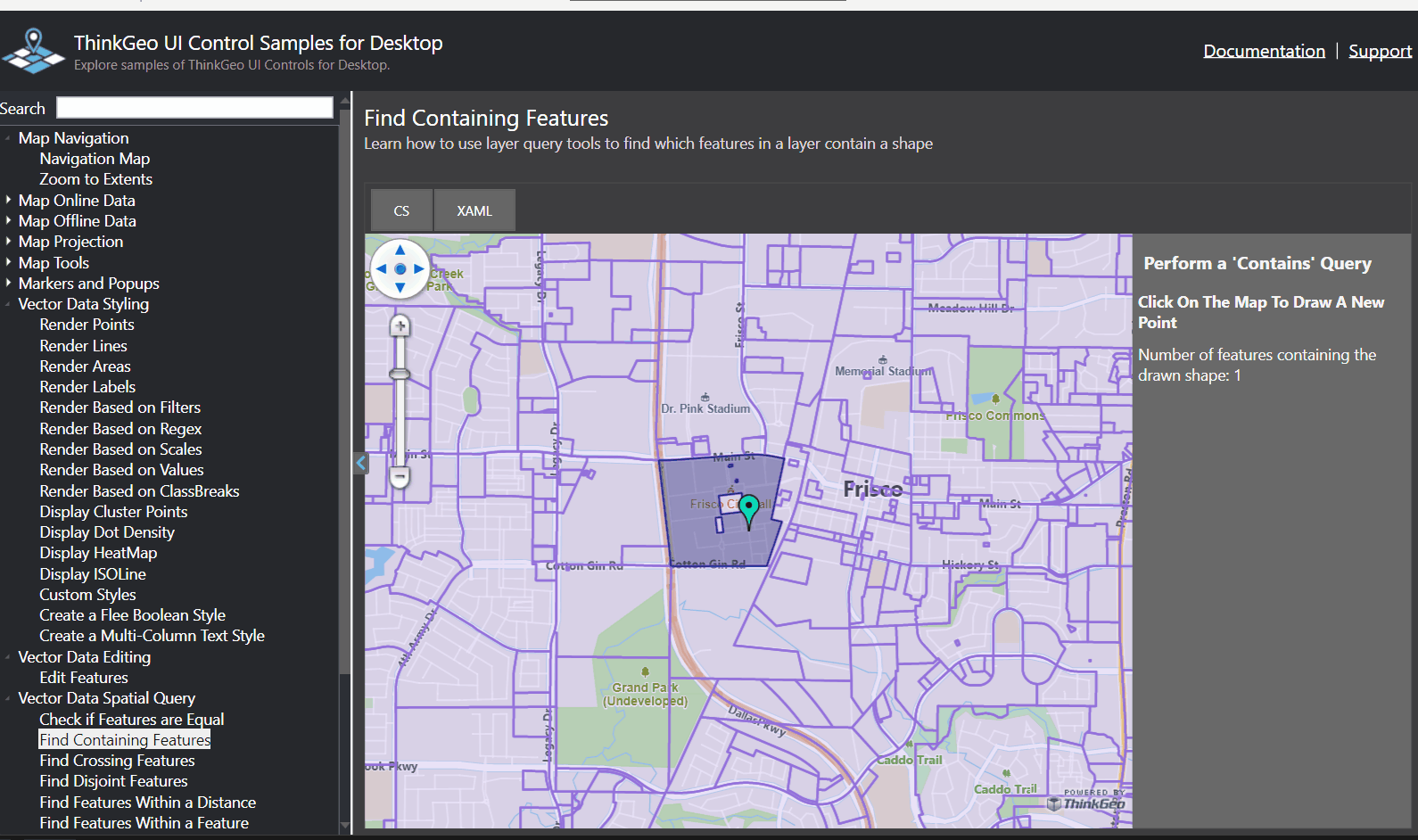
WPF ‘HowDoI’ samples in action
Sometimes a .cs file can be worth a thousand words, and developers often learn best by digging into working code.
Just use the links below to pull the sample projects from GitLab. Then, open the solution in Visual Studio and run the sample—it's that easy!
Samples for Desktop Applications
WPF HowDoI Samples - These samples show a wide array of GIS functionality that can be easily added to your WPF application using the ThinkGeo Desktop control.
Winform HowDoI Samples - Winforms has been around a long time, but it’s still used in a lot of applications. Download these samples to see all the GIS functionality running in a winforms application.
Samples for Mobile Applications
MAUI for iOS, Android, WinUI and MacOS HowDoI Samples - If you are using the latest and greatest multi-platform solution from Microsoft, start here.
Legacy iOS HowDoI Samples - If you still need to target a native iOS application without using .NET MAUI, look into our legacy samples here.
Samples for Web Applications
Blazor HowDoI Samples - If you want to build your web app using C# and Razor syntax instead of Javascript, we have a great solution using our Blazor control.
WebAPI HowDoI Samples - These samples use WebAPI on the back end, and show examples of using both the Leaflet and OpenLayers javascript libraries on the client.
Samples for ThinkGeo Cloud Services
Javascript HowDoI Samples - Learn how to access ThinkGeo Cloud services using our JavaScript libraries, which can be integrated into any web application, regardless of your tech stack.
.NET/C# HowDoI Samples - The Desktop/Mobile/Web 'HowDoI' samples above each include examples of using ThinkGeo Cloud in your C# applications.
In addition to the ‘HowDoI’ samples on Gitlab, several of our controls and services also have online samples. These provide a quick and easy way to explore our capabilities without setting up a development environment or pulling code.
WebAPI Online Samples - Head to this website to see what all our WebAPI control can add to your web app.
Blazor Online Samples - Check out live examples of our Blazor control.
Webforms Legacy Online Samples - While Webforms may older technology, but we still have options if that’s what your project requires.
Cloud Online Samples and Basemap Demo - If you need to add GIS services to an existing or new application, see all that our Cloud service can provide. From basemaps to geocoding and routing, we will save you the hassle of building and hosting your own GIS server.
QuickStart Guides and API Documentation
If code samples aren’t your cup of tea, you can also explore our QuickStart guides and API documentation at the links below.:
Desktop QuickStart for WPF and Winforms and source code. The Desktop Api Docs can be viewed here, and you can search for any class or method using the search bar at the top of the page.
Mobile QuickStart for MAUI and source code. The Mobile Api Docs can be viewed here, and you can search for any class or method using the search bar at the top of the page.
Web QuickStart for WebApi and Blazor and source code. The Web Api Docs can be viewed here, and you can search for any class or method using the search bar at the top of the page.
Cloud QuickStart, REST Api Docs, and the .NET SDK and Javascript SDK - Add top-notch basemaps, geocoding and routing to your applications.
Offline Datasets - Add street and satellite basemaps to your offline applications.
Articles and Videos
If you've explored the samples and documentation but want to dive deeper, we've got you covered. Our collection of educational articles and videos will help you sharpen your skills. If you're new to ThinkGeo or GIS, we recommend starting with the articles below:
Feature Sources and Adding Features - Every map is only as good as the data it displays. Check out these articles to learn how to add features to your map!
Styles - Once your data is on the map, it needs to be styled to be pleasing and informative for your users.
Layers and Overlays - Learn how these are used to organize and present your styled data.
Map Projections - Learn how projections and spatial reference systems affect your data and maps.
Offline Maps - Learn how to build an application that works offline.
Debugging Tips - As your application grows in functionality, check out these debugging tips!
Extensibility Guide - Learn how the classes in ThinkGeo.Core are shared across all of our controls and how they can be easily extended to meet your own needs. Check out the extensibility videos on Data Formats, Custom Styles, and Layers.
Talk to our Developers!
If you prefer a more direct approach, reach out to our developers at support@thinkgeo.com or schedule a meeting to talk in person. We love connecting with fellow developers and helping them find the best solutions for their needs.
Thanks for reading today’s post! If you have any questions or topics you’d like us to cover in a future post, please email us at sales@thinkgeo.com.
About ThinkGeo
We are a GIS software company founded in 2004 and located in Frisco, TX. Our clients are in more than 40 industries including agriculture, energy, transportation, government, engineering, IT, and defense. We pride ourselves on our excellent service and transparency. ThinkGeo offers a variety of products and services to meet almost any GIS application need. We can even help you develop your next project - anywhere from a few hours of consulting to outsourcing an entire project. To learn more, email us at sales@thinkgeo.com, or give us a call at 1-214-449-0330.