Host Your Own Offline Mapping Server
While there are several online mapping providers like Google, Bing, Esri, MapBox, and ThinkGeo’s World Map Kit Online that serve up map tiles, there are scenarios where you might want an on-premise offline mapping server.
For example, your environment might not have internet connectivity. Or, you might be concerned about the security of putting your geospatial data on the World Wide Web. With an offline solution, you can be assured that you have complete control over what is displayed on the map and the peace of mind of a locally-deployed system.
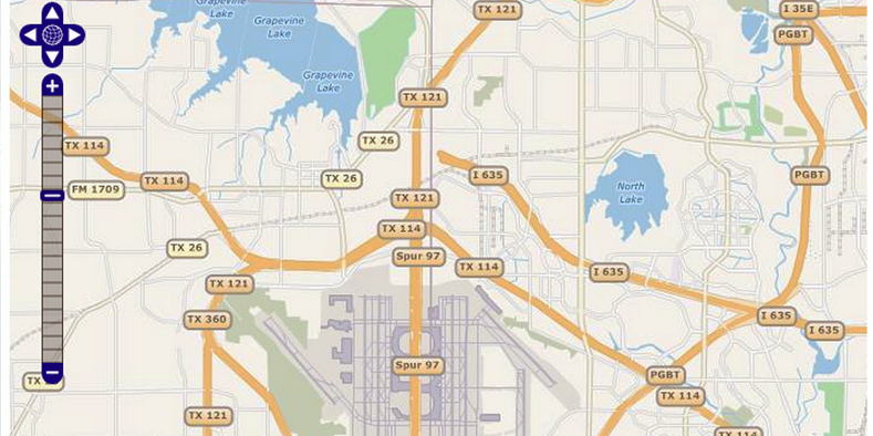
The most important part of any mapping server is the data that is served. An excellent choice for the basemap of your offline mapping server is OpenStreetMap. It is a crowd-sourced dataset that has been updated by thousands of contributors. However, the OpenStreetMap data in its native format can be difficult to use, so ThinkGeo has done the heavy lifting by developing Map Suite World Streets.
Map Suite World Streets makes it easy to integrate basemaps into your application by providing all of the C# source code for rendering the map tiles and the 160+ gigabyte dataset in both SQLite and PostgreSQL formats. If the size of the dataset scares you – don’t worry! Map Suite World Streets includes a utility to cut out only the part of the world you care about, allowing you to deploy a much smaller dataset.
Aerial and satellite imagery are common requirements in today’s mapping applications. If you are looking to host these in an offline environment, your options are limited. By working with ThinkGeo, aerial imagery of your desired area can be integrated into the World Map Kit SDK to produce beautiful aerial and hybrid views in an offline environment. Check out the interactive live demo of the World Map Kit Online to view the aerial imagery available in your area.
Use the World Map Kit SDK in conjunction with any Map Suite Developer Tool to build your on-premise mapping solution. ThinkGeo offers .NET dev tools for desktop, web, and mobile that allow you to create professional-level maps for many platforms.


