
ThinkGeo
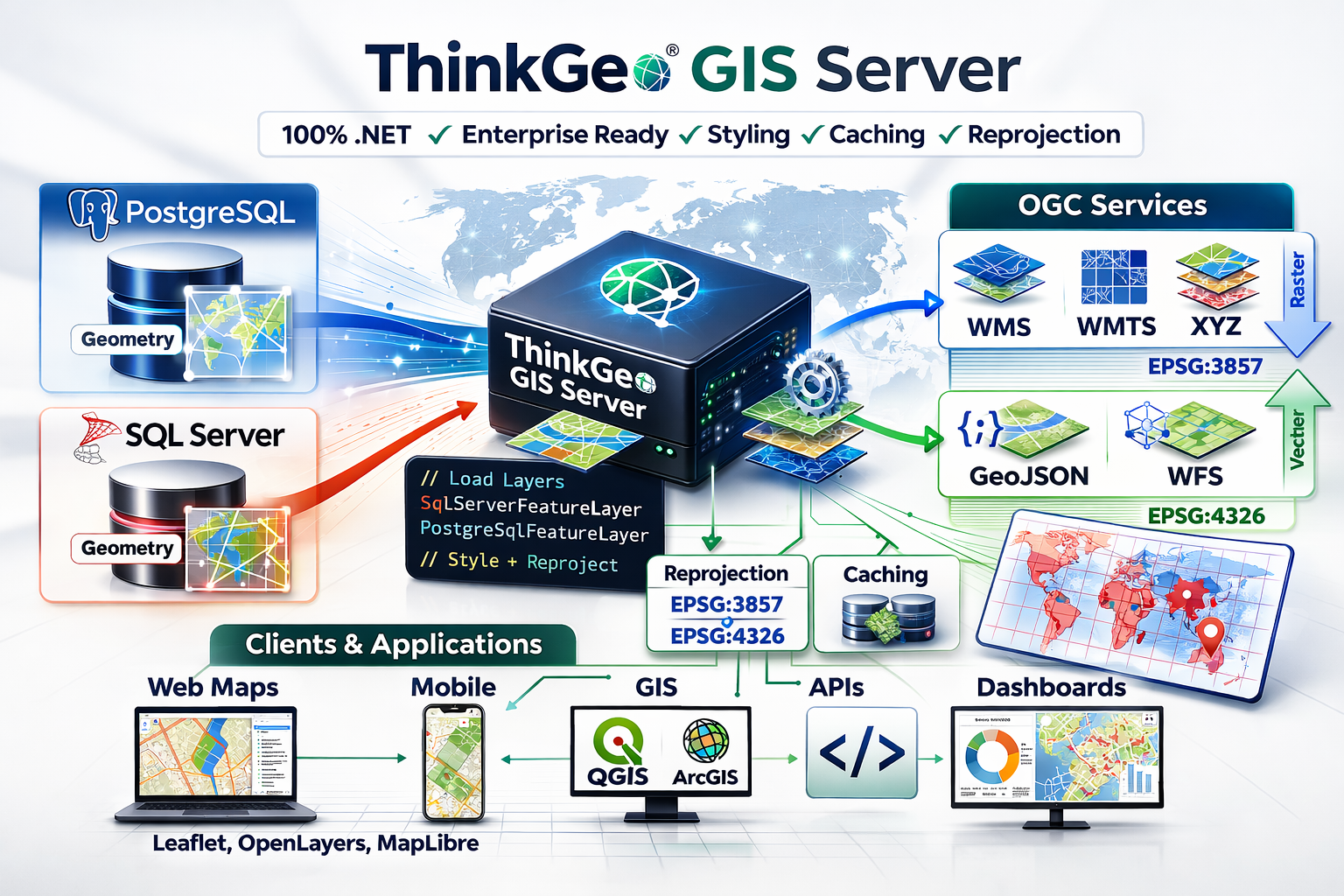
GIS Server
Render and serve your map data via XYZ, WMTS, WMS, GeoJSON, WFS or MVT (Mapbox Vector Tiles).
Learn More
Client Independent
The GIS Server works with your existing client-side tech stack. Whether it’s React, Flutter, Swift, Kotlin, .NET, Java or Python, we have you covered.
Data Agnostic
We support hundreds of data formats for your input data sources. If your data is in a non-standard format, our flexible extensibility model can handle it.
Simple Licensing
Our developer tools are licensed per developer. Deployments and production licenses are unlimited, free and perpetual, regardless of the size of your user base.
Flexible Input Sources
Support for PostgreSQL and SQL Server
Support For Dozens of Vector Formats
Support for “Big Data” Raster Formats
Easily Integrate Custom Data Formats
Vector Output
Support for many standards-based vector output service types:
GeoJSON
WFS
MVT (Mapbox Vector Tiles)

Raster Output
Support for many standards-based raster output service types:
XYZ Tiles
WMS
WMTS
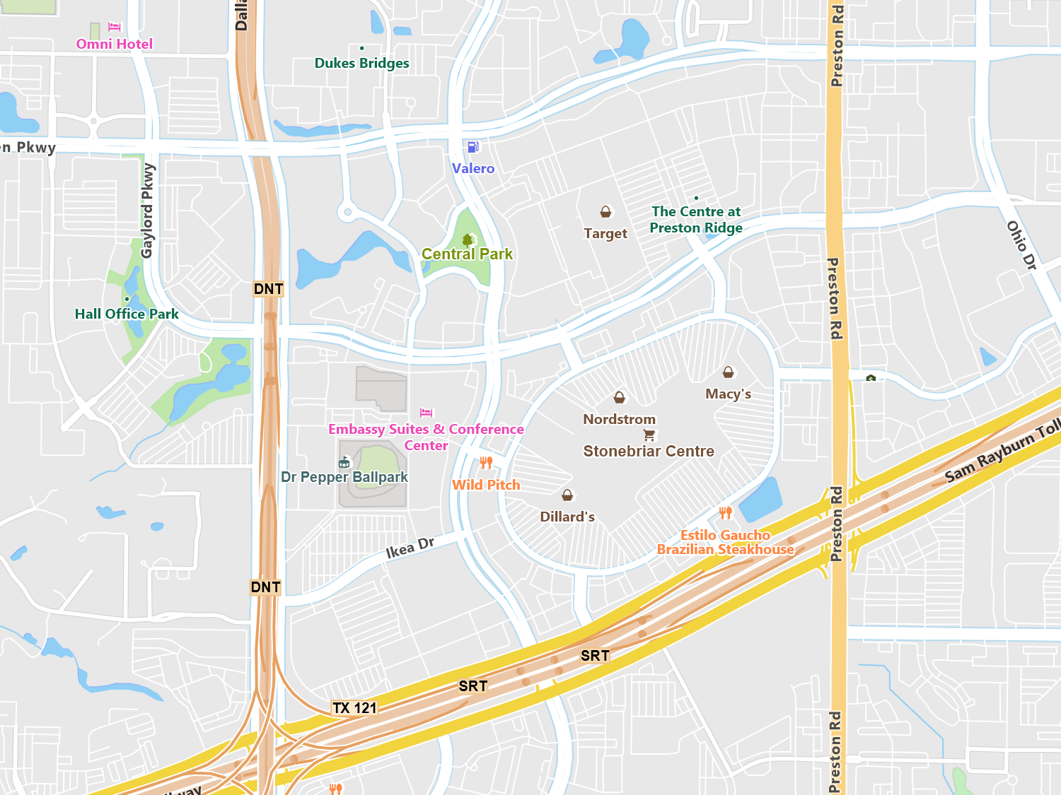
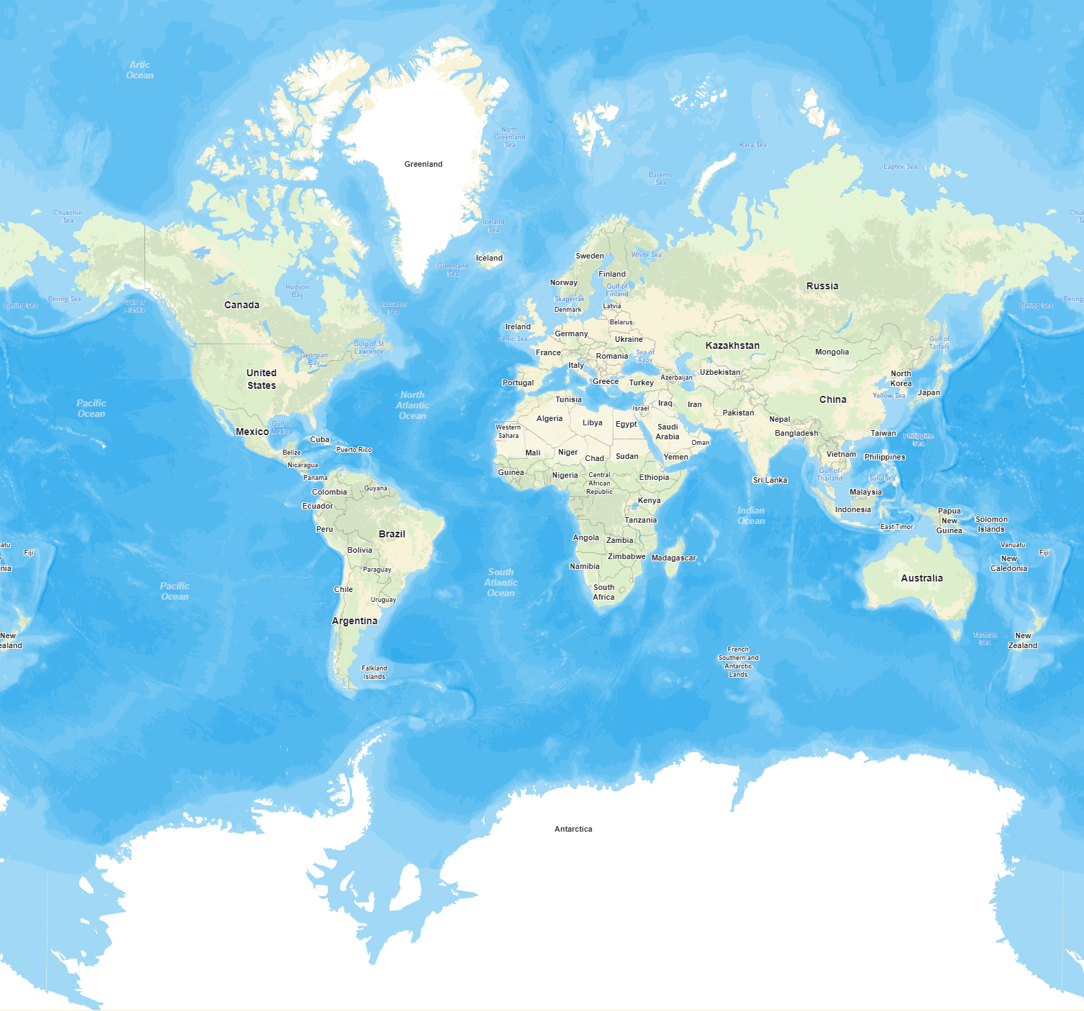
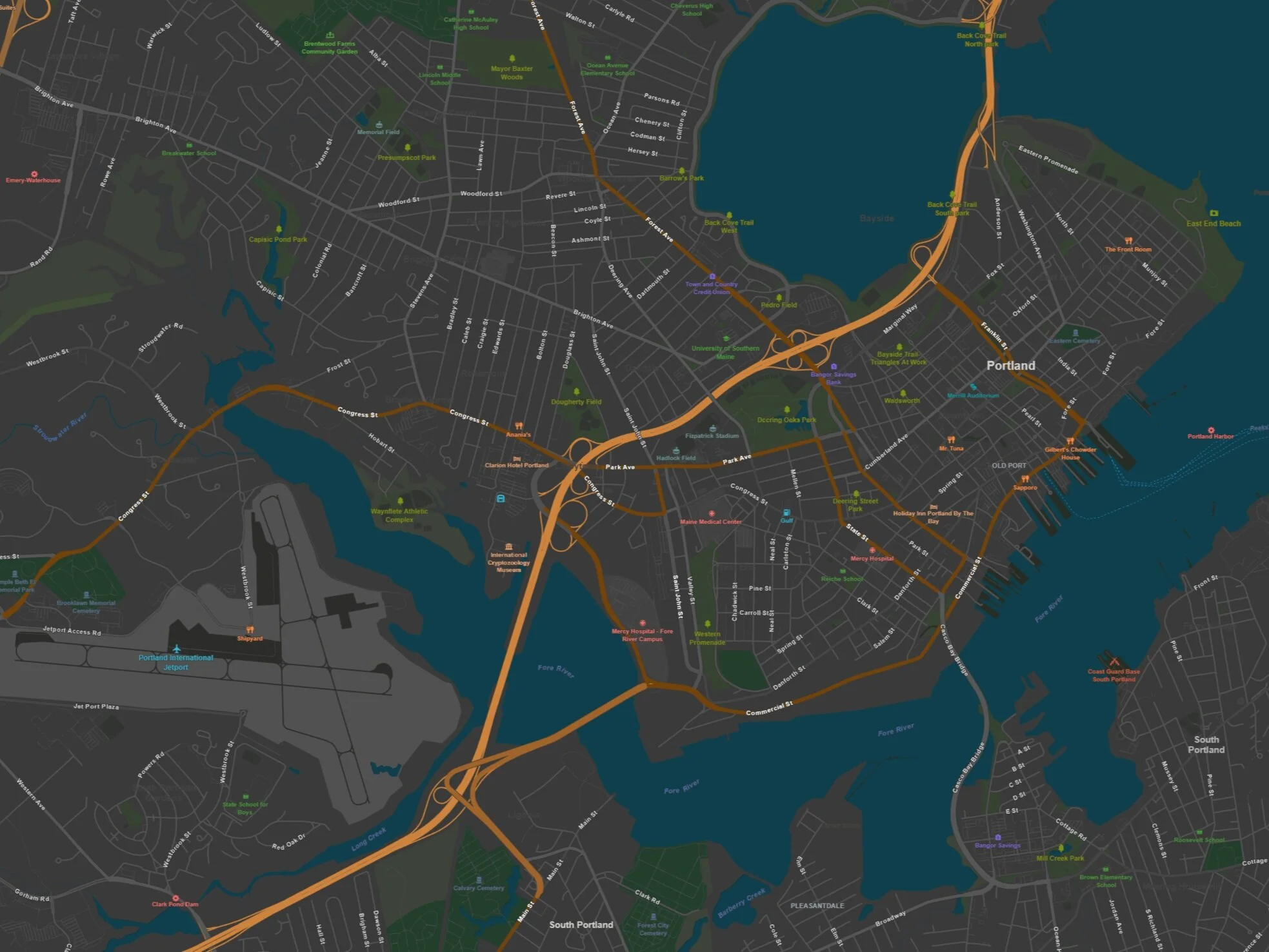
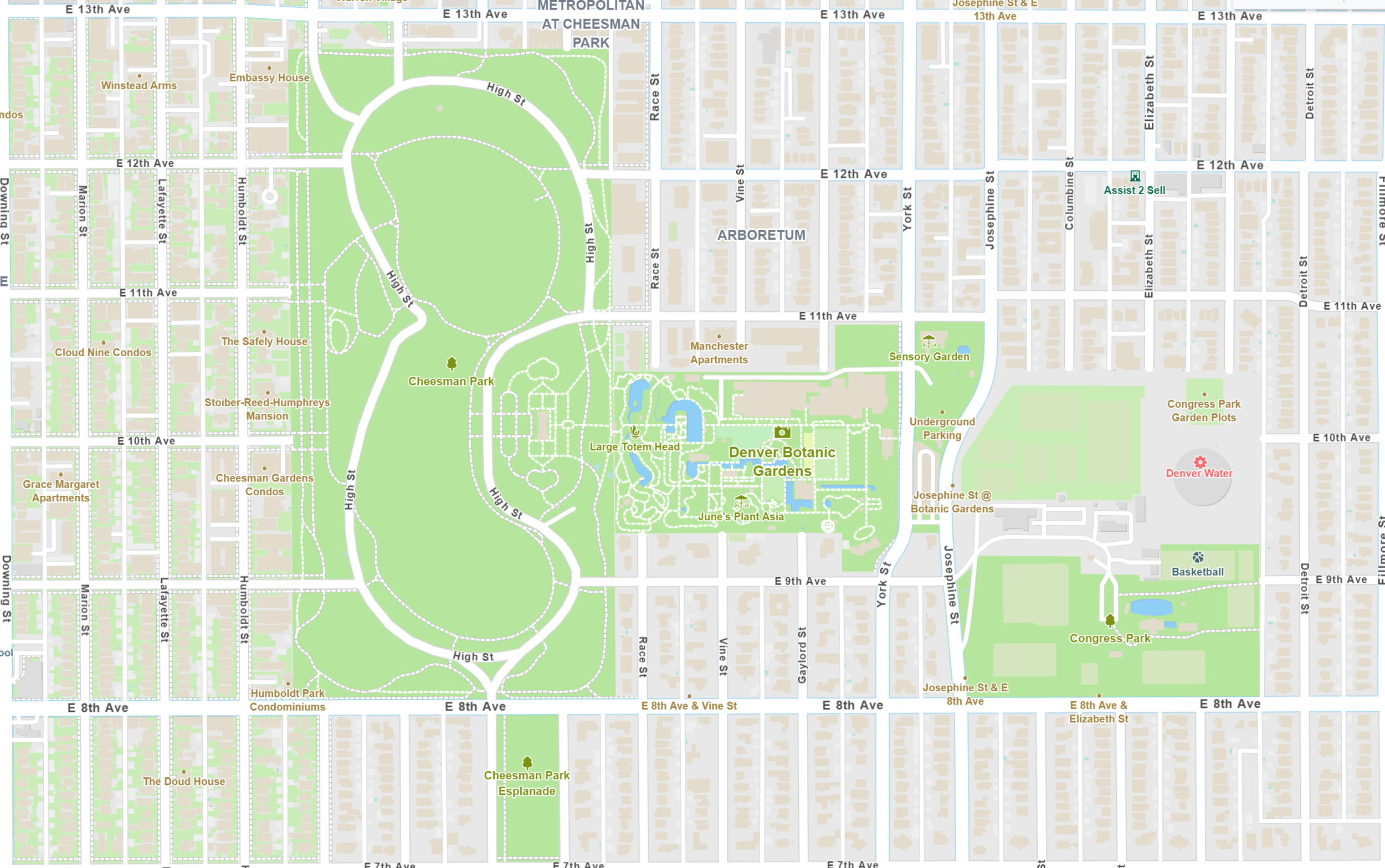
Create Visually Stunning Maps
Use any of our pre-existing styles or create your own! You have full control to design visually stunning maps. Visually analyze your data using styles such as point clustering, heat maps, class breaks, and isolines.


Extensive Documentation
In addition to API documentation we have an extensive wiki that is chock full of information. You can find getting started samples and guides, as well as links to videos and more.
Interactive Code Samples
Our code samples are online and are setup so that you can modify the code in real-time, allowing you to get a good understanding of how they work.
Staffed Issue Tracker
When you need help beyond the static documentation we have a staffed issue tracker ready to respond. Start with searching for your question, and if you can’t find it, one of our developers will be happy to help you.
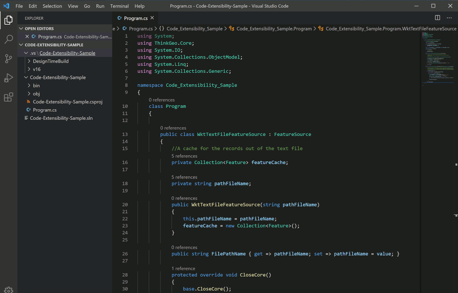
Extensible Code Base
Inheritance and composition are at the heart of our object model. Nearly every facet can be extended or overridden.
Customize Styling
Integrate New Data Sources
Enhance UI Controls & More

Daily Builds via NuGet
By offering our components via NuGet it’s easy for you to install and keep up to date all of ThinkGeo’s products.
Daily product builds
Get updates via NuGet
Developer and production channels