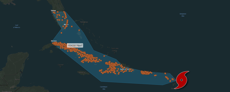
ThinkGeo Maps Query Sample Spotlight: Cities Affected by Nuclear Disasters
There have been a handful of nuclear power plant events that have had significant consequences for people, the environment and the facilities and workers of the plant. Sometimes the scope and radius of the area impacted by these events is minimized or not completely understood. Maps can help in painting that picture. ThinkGeo Cloud can go the extra mile and stress the importance and the magnitude of such events.
Maps Query Service added to ThinkGeo Cloud
ThinkGeo’s Cloud Maps Spatial Query Service is a data allocation haven. With it, you can free-draw, set lines and/or polygon contours for any portion of ThinkGeo’s World Maps and then extract a bevy of spatially-related data.


