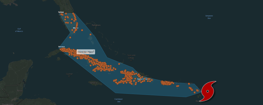
ThinkGeo’s Coronavirus (COVID-19) Live Map
Mapping epidemics and adding visual details can help greatly in understanding and locating the spread and epicenters of viruses like COVID-19.
ThinkGeo Route Optimization solves the Traveling Salesman Problem
ThinkGeo Cloud Routing has kicked off the new year with the addition of the Route Optimization service, which introduces the ability to tackle the Traveling Salesman Problem or TSP as it’s commonly known.
Make a Web Mapping App with Routing and Place Search: Tutorial
“We’ve got a long way to go and a short time to get there”; an excerpt from Jerry Reed’s classic record “Eastbound and Down”. Within those lyrics resides a deeper story of managing time and distance across the roads of America. There were no data hubs in Jerry’s days of trucking and fleet management. There were no ways of saving time beyond those that could be thought up on a whim.
Video Spotlight: Getting Started with ThinkGeo UI 12 & Blazor
With the release of ThinkGeo UI 12, we’ve had a lot of interest in the new Blazor map component introduced with it. Today we’re offering a look at how to add a map to your Blazor web application in just a few lines of code.
ThinkGeo Maps Query Sample Spotlight: Cities Affected by Nuclear Disasters
There have been a handful of nuclear power plant events that have had significant consequences for people, the environment and the facilities and workers of the plant. Sometimes the scope and radius of the area impacted by these events is minimized or not completely understood. Maps can help in painting that picture. ThinkGeo Cloud can go the extra mile and stress the importance and the magnitude of such events.
Routing Cost Matrix API added to ThinkGeo Cloud
Sometimes getting from point A to point B just isn’t enough. Sometimes there are points C-Z to factor into consideration and if that’s the case then odds are you need to know how long it’s going to take to get there too. Enter ThinkGeo’s Routing Cost Matrix API. This latest addition to our ThinkGeo Cloud arsenal introduces a simple service that calculates the time and/or distance between several waypoints.
Maps Query Service added to ThinkGeo Cloud
ThinkGeo’s Cloud Maps Spatial Query Service is a data allocation haven. With it, you can free-draw, set lines and/or polygon contours for any portion of ThinkGeo’s World Maps and then extract a bevy of spatially-related data.
ThinkGeo Routing Sample Spotlight: Finding Places of Importance Along Your Route.
“We’ve got a long way to go and a short time to get there” ; an excerpt from Jerry Reed’s classic record “Eastbound and Down”. Within those lyrics resides a deeper story of managing time and distance across the roads of America. There were no data hubs in Jerry’s days of trucking/fleet management. There were no ways of saving time beyond those that could be thought up on a whim.
Putting ThinkGeo’s Service Area to use
Anyone who has worked front desk at a hotel is aware of a daily task that requires the contacting of local competitors to ask them what price they are selling rooms at so that your hotel can set their rates accordingly. This is how data acquisition on the front-lines of the hospitality industry works; and several other industries for that matter.
ThinkGeo Cloud Geocoder goes “Global”
The range of application for a high performing Geocoding utility is within the developer’s control. From simple data analysis/visualization and customer management to distribution techniques that give you the edge over your competition. When addresses are geocoded the immediate benefit for users, whether novice or professional is that the data can be visualized and then analyzed which can lead to greater depths of data immersion and deduction.
Reverse Geocoding in ThinkGeo Cloud
Knowing where you are and what’s around you was once an area only experts and roadmaps could help you with. In the last 20 years it’s safe to say a mapping revolution has taken place and now typing in what you’re looking for near you is commonplace. ThinkGeo Cloud’s Reverse Geocoding API lets you quickly convert coordinates from anywhere in the world into human-readable streets addresses. It also allows users to get a list of nearby points of interest and to find the nearest place of any category you want; again with global coverage.
Routing and Service Area Functionality Comes To The ThinkGeo Cloud
ThinkGeo’s next addition to its robust cloud offering is ThinkGeo Routing, and it’s already here! Not only can you now get driving routes and turn-by-turn directions from our cloud, we also added a Service Area utility to help you manage business logistics using spatial analysis.
ThinkGeo Cloud’s Time Zone API
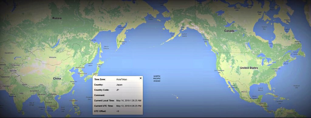
ThinkGeo has added a Time Zone API to our growing list of Cloud services. The importance of knowing what time zone different parts of the globe fall under is paramount in business. Whether its managing your fleet of vehicles that are spread out across continents or optimizing when you send messages out to business partners, the flow of productivity is crucial. If the product/service you provide can be globally consumed then your audience is the world and something as simple as knowing what time it is can go a long way.
ThinkGeo Cloud Enhancements
The latest version of ThinkGeo Cloud has been released. Registered ThinkGeo accounts will notice the changes immediately. Once logged in to ThinkGeo Cloud users will be met with a slideshow tutorial covering all of the Cloud basics.


