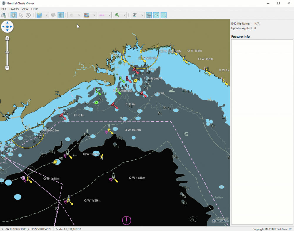
ThinkGeo S-57 Nautical Charts Viewer
ThinkGeo has given its nautical chart support quite the overhaul. Our newly-improved Nautical Charts Layer reads and displays S-57 Electronic Navigational Charts (ENC) from the International Hydrographic Organization, and integrates with our GIS UI controls so you can display those charts in your own applications. This new layer can also read and apply style information defined in an S-52 file. Best of all, it’s 35% faster than our previous-generation Nautical Charts Layer!

