Misc ThinkGeo 7/13/16 Misc ThinkGeo 7/13/16 Create Accurate Data with Snapping Read More Misc ThinkGeo 7/13/16 Misc ThinkGeo 7/13/16 Use Dot Density Styles to help Visualize Area Features Read More Tutorial ThinkGeo 6/24/16 Tutorial ThinkGeo 6/24/16 Reducing Datasets for Offline GIS Applications Read More News ThinkGeo 6/15/16 News ThinkGeo 6/15/16 Microsoft Releases Version 1.0 of .NET Core Read More Tutorial ThinkGeo 6/13/16 Tutorial ThinkGeo 6/13/16 Display KML & other GIS data Formats Read More Sample ThinkGeo 6/8/16 Sample ThinkGeo 6/8/16 What are Buffers in GIS? Read More Sample ThinkGeo 6/1/16 Sample ThinkGeo 6/1/16 Cluster Points to Simplify Your Maps Read More Sample ThinkGeo 5/25/16 Sample ThinkGeo 5/25/16 Split a Polygon with a Line Read More Sample ThinkGeo 5/11/16 Sample ThinkGeo 5/11/16 Find what’s nearby by using Distance Queries Read More Sample ThinkGeo 5/4/16 Sample ThinkGeo 5/4/16 Use Clipping to Create New Features Read More Sample ThinkGeo 4/27/16 Sample ThinkGeo 4/27/16 Use Filter Styles to Render Features matching Your Criteria. Read More Tutorial ThinkGeo 4/20/16 Tutorial ThinkGeo 4/20/16 Add Aerial Imagery to Your Mapping App! Read More Sample ThinkGeo 4/6/16 Sample ThinkGeo 4/6/16 Visualize Your Data by using Heat Maps. Read More Misc ThinkGeo 4/6/16 Misc ThinkGeo 4/6/16 Xamarin Now Included in Visual Studio! Read More Newer Posts Older Posts
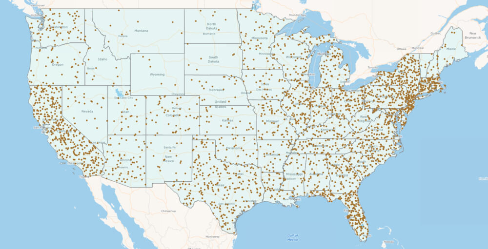
Misc ThinkGeo 7/13/16 Misc ThinkGeo 7/13/16 Use Dot Density Styles to help Visualize Area Features Read More
Tutorial ThinkGeo 6/24/16 Tutorial ThinkGeo 6/24/16 Reducing Datasets for Offline GIS Applications Read More
Sample ThinkGeo 5/11/16 Sample ThinkGeo 5/11/16 Find what’s nearby by using Distance Queries Read More
Sample ThinkGeo 4/27/16 Sample ThinkGeo 4/27/16 Use Filter Styles to Render Features matching Your Criteria. Read More
Tutorial ThinkGeo 4/20/16 Tutorial ThinkGeo 4/20/16 Add Aerial Imagery to Your Mapping App! Read More