


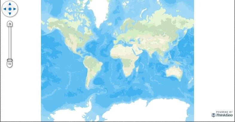
Display SQLite Data in WPF
In this article we will show you how to simply create a map using SQLite in Wpf.
Display Maps in .NET 5 WPF Using VS Code
This article will cover how to simply create a desktop WPF map application in .NET 5 using VS Code.
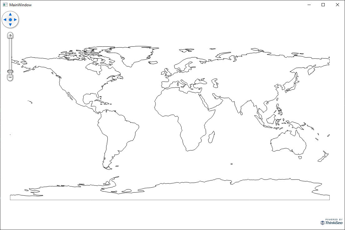
Display Shapefiles in WPF
In this article, we will cover how to create an application that shows you how easy it is to display shapefiles in WPF using ThinkGeo Desktop Maps.


ThinkGeo’s Coronavirus (COVID-19) Live Map
Mapping epidemics and adding visual details can help greatly in understanding and locating the spread and epicenters of viruses like COVID-19.

Restoring OpenStreetMapLayer Functionality in ThinkGeo UI
Are you using the ThinkGeo UI OpenStreetMapLayer in your application and experiencing problems with map tiles not loading? This may be due to recent changes on OpenStreetMap’s side in which they are more strictly enforcing their Tile Usage Policy. This policy requires (among other things) that any application consuming tiles from OpenStreetMap’s servers must identify itself with a valid HTTP User-Agent. By default, ThinkGeo’s OpenStreetMapLayer does not specify a User-Agent, but you can (and should) set one yourself.

ThinkGeo Route Optimization solves the Traveling Salesman Problem
ThinkGeo Cloud Routing has kicked off the new year with the addition of the Route Optimization service, which introduces the ability to tackle the Traveling Salesman Problem or TSP as it’s commonly known.

Make a Web Mapping App with Routing and Place Search: Tutorial
“We’ve got a long way to go and a short time to get there”; an excerpt from Jerry Reed’s classic record “Eastbound and Down”. Within those lyrics resides a deeper story of managing time and distance across the roads of America. There were no data hubs in Jerry’s days of trucking and fleet management. There were no ways of saving time beyond those that could be thought up on a whim.